
By Trevor Jones, Geospatial Analyst & Manager, Blue Carbon Science, Vancouver
What happens when you spend a week with representatives from dozens of non-profits, educational institutions and research institutes learning about recent advances in mapping tools and technologies at the Google campus in Mountain View, California? Besides ending up in very close proximity to a strange cast of a tyrannosaurus-rex skeleton riddled with fake flamingos (see below), you walk away amazed by the unprecedented capabilities of all you’ve been shown and intrigued by the demonstrated uses of these tools to date.
Bringing us to the thick of the famous Silicon Valley, this second annual Geo for Good User Summit granted attendees intimate access to the developers and managers of Google mapping tools and the curators of both Google Earth and Ocean data-sets. Of particular relevance to marine conservation was the access granted to Jennifer Foulkes, manager of the Google Ocean programme, and Charlotte Vick and Maria Montoreano, who work for Mission Blue: Sylvia Earle Alliance and curate the Explore the Ocean layer.
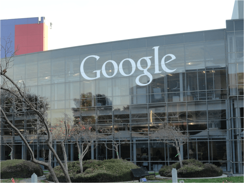
Outside Google headquarters in Mountain View, California.
Explore the Ocean is an incredible global educational data-base featuring stories about the marine environment from over 100 contributors. As invited contributors to this layer, we have been busy uploading stories associated with all of our projects, ensuring that the diversity and uniqueness of Madagascar’s coastal ecosystems and communities are deservingly represented. This will also help ensure that the many complex challenges facing the ecological integrity of the Malagasy coast and the long-term livelihoods of residents, as well as the progress made towards rising to meet these challenges, are effectively show-cased.
Of the many new tools showcased, the Landsat Time-Lapse was especially fascinating, impressive and instantly applicable to an incredible variety of concerns throughout the world. Through harnessing the capabilities of Google Earth Engine, which brings together global data archives and analysis and interpretation tools supported by the power of the Google cloud, a first-of-its kind time-lapse has been built from 29 annual Landsat satellite imagery composites. Incredibly, this tool can be used to show-case several decades of change anywhere in the world.
For instance, the alarmingly rapid extent and pace of mangrove deforestation in NW Madagascar (i.e., Ambaro/Ambanja bays) is clearly evident (Remain in current location. Zoom in all the way. Set the speed to medium or slow and pay attention in particular to 2008 onward. During this time, most of the mangroves spanning the peninsula between the two bays are effectively deforested).
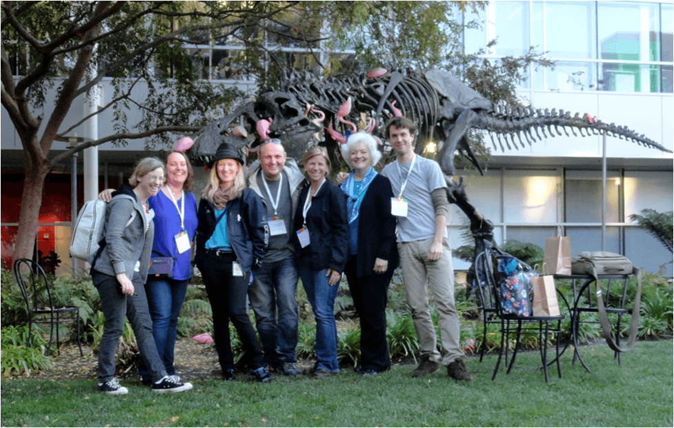
In front of “Stan” the Google T-rex. In order from right: Trevor Jones, Charlotte Vick, Maria Montoreano, Nathan Cunningham, Jennifer Foulkes and Colleen Peters. Also pictured is a friend of Colleen’s.
While viewing long-term change in this dramatic manner is extremely powerful and utterly sobering, Summit participants walked away with an enhanced knowledge of this and many other resources for visualising, investigating and explaining the stories relating to their work using Google mapping tools. While this new generation of tools has many utilities, we expect them to specifically and significantly aide in improving and expanding our existing marine conservation programmes while also helping to assess the feasibility of and implement new initiatives.
In summary, I walked away from this Summit equipped with a more diverse set of tools which I will continue discussing and sharing with colleagues and which will help support the immense and diverse conservation challenges faced by coastal communities.
Through the Google Earth Outreach Programme anyone can learn about these tools through overviews, tutorials and success stories. This programme is of particular importance to non-profits, who can apply for grants for Google tools and products that would otherwise cost money for licenses.