Lying off the west coast of Madagascar and home to some of the Western Indian Ocean’s healthiest and most productive marine ecosystems (including coral reefs, seagrass beds, extensive mangroves and the WIO’s highest documented levels of fish biomass), the Barren Isles archipelago supports the livelihoods of more than 4,000 traditional small-scale fishers, including semi-nomadic Vezo fishers who migrate annually from throughout southwest Madagascar to fish around its coral reefs and broad lagoons.
Pressures on the archipelago have proliferated in recent years, and Blue Ventures and Madagascar’s Ministry of Environment are working together to help local coastal communities establish a Locally Managed Marine Area (LMMA) around the Barren Isles to help reduce pressures. In November 2014, the Government of Madagascar granted a two-year preliminary protected status, making the Barren Isles the country’s largest protected area.
The Vezo Miray Nosy Barren association was created on July 2015 as a co-management group of the MPA. This entity is critical for its well-being and it plays a major role in representing each community of fishers using and relying on MPA’s resources, to ensure that decisions are designed and adapted to local needs.
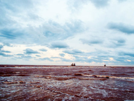
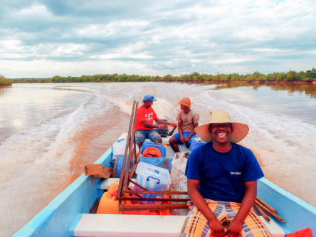
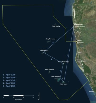
After several weeks of preparation and input from many members of the BV family, the mission is about to start: equipment is ready, approaches and protocols defined, and the team is very motivated. Yet, we will have to wait two more days for the wind and the waves (2.8 meters!) that cross the estuary to calm down, and our boat the “Vezo Miray Nosy Barren” to head to Nosy Lava, at the southern tip of the archipelago; the first stop for our participatory mapping work.
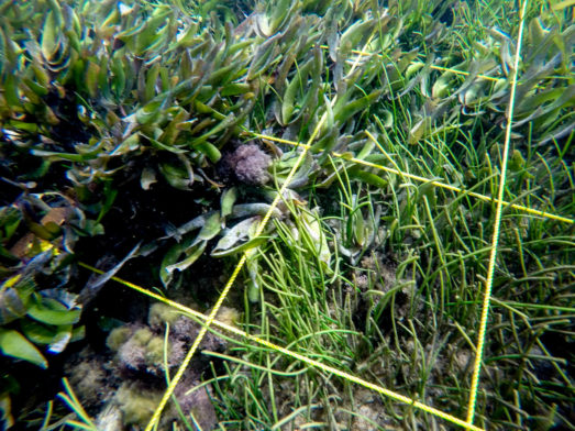
The objectives of the mission are numerous, but all contribute to the ecological monitoring of the locally managed marine area (LMMA) and ultimately towards getting definitive protected status for the Barren Isles marine protected area (MPA). Not only are we mapping habitats and fishing sites, with a particular emphasis on seagrass and its associated biodiversity, but we are also discussing the role and importance of habitats for marine ecosystems, defining the basis of a participatory programme to monitor the state of these habitats over time, and exchanging ideas on the MPA and its management with the Vezo Miray association. These activities will contribute to the monitoring and assessment of ecosystem health, and the effectiveness of management measures implemented within the Barren Isles MPA.
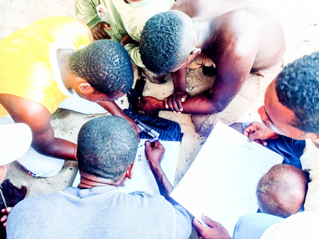
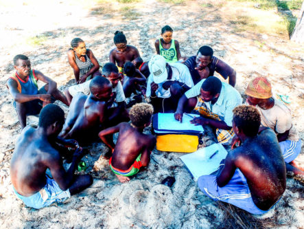
Nosy Maroantaly’s fishermen leading the mapping of seagrass patches
During the mission, the team visited different camps to work for two days with management committees of the Vezo Miray association and available fishers. As the fishing season has not yet truly started (peak season usually runs from April to November), we hoped that almost all community members would participate.
Logbook, April 14th, 2016:
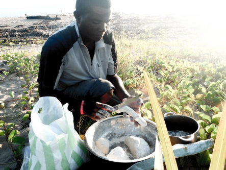
“It is 6am on Nosy Andrano, Fily and Tito, our boat captain and assistant, are preparing the breakfast, while JB welcomes the volunteers and I finalise the templates.15 minutes later, the tea is ready and everyone seems prepared to start. It is time for the final briefing before getting on the boat for our second day of participatory mapping of the MPA’s habitats. On the menu: GPS delineation of seagrass beds, free diving to define the species present, the state of habitats, and collecting information on their social importance and uses. An ambitious program but the weather is good, the volunteers seem motivated and if they are as efficient as their relatives from Nosy Lava were, then I’m not worried, despite the large area we have to cover.
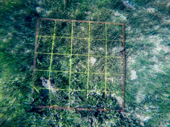
Finally we begin! The crew are getting used to the routine and like always we start with the farthest habitats – Nosy Dondosy’s seagrass beds. Fily gets the GPS, Tito prepares the quadrat and snorkelling gear, and JB is finishing the briefing and collecting the first set of data. Our first habitat is a seagrass patch which starts north-east of the island. Once the delineation is finished, the first dive begins. Quickly each volunteer starts their job: three are in charge of placing the quadrat on the bottom and recording its composition, the remaining two are responsible for collecting samples to validate species, reporting the numbers of fish cruising around and anything that could be of interest to them. Once on the boat, JB verifies the information collected by each of the team members and repeats it for me to record on the data sheet.
We repeat this procedure all day, and JB and I take it in turns to dive underwater to photograph each quadrat to double-check the information when we get back to the office.
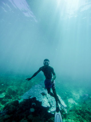
The ease with which the Vezo fishers swim underwater is insane! While I’m struggling to get down, everyone is already on the bottom and they also take time to swim around looking for bigger fish that are hiding. On one dive however, on the south-western tip of Nosy Mangily, the dive team finished their tasks in record-breaking time. When quizzed on their speed, their reason was the proximity to the Mozambique channel drop-off, making this site a hotspot for shark fishing! Even though the shark fishery has been declining over the last decade, due to high demand of products from East-Asian markets, the underwater atmosphere on this particular dive was mystic and we were all keeping an eye towards the big blue!
Apart from this dive, the ambiance is jovial and every team member seems to really take his role seriously. We keep improbable memories and pictures of the underwater sessions!”
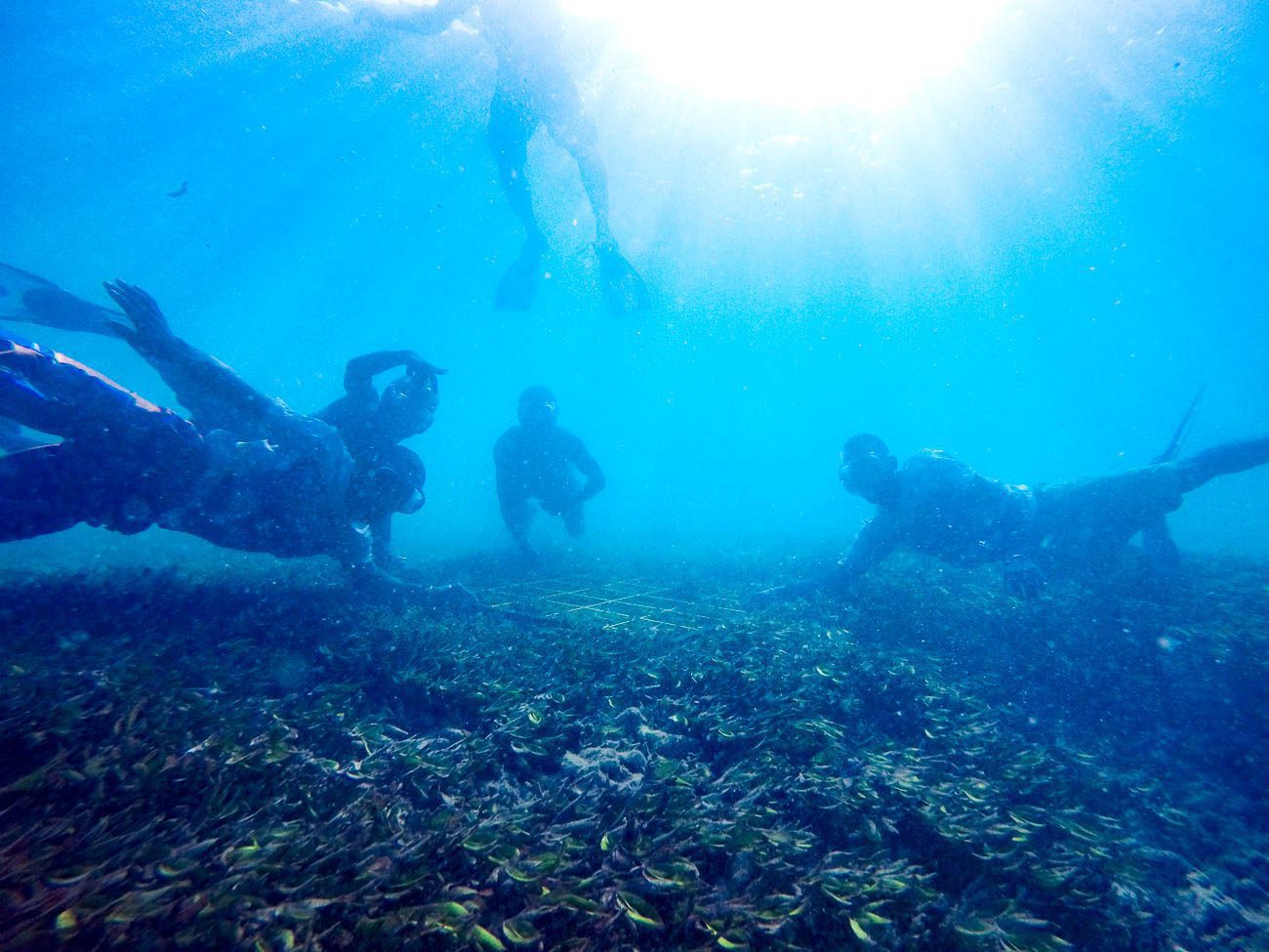
Nosy Andrano’s volunteers seting up the first quadra and posing for the picture
The mission lasted eight full days and before it became windy on the last two days, we were able to conduct surveys near four of the eight inhabited isles of the archipelago, including the permanent reserve site.
Thanks to help from 18 fishers and amazing divers, we have been able to identify and map 13 habitats used by communities (11 coral reefs and two seagrass beds). The results of this first mapping mission and exchange on a participatory monitoring programme for priority habitats of the Barren Isles MPA have made good progress towards our goals.
Most of the community members seemed excited by discussions to follow-up on some of their habitats and the various species depending on it.
Despite being highlighted as a hotspot, fishers are not aware of dugongs here. Most of the younger fishers have only heard of them through elders’ stories and images of this charismatic mammal were a great source of curiosity for the kids. We hope that they will see dugongs in the wild when they grow up.
The interest and enthusiasm of the mobilising communities were essential to the effectiveness of this mission. We look forward to the next mapping mission, which will hopefully be as successful as the first!
We would like to thank our partners for their interest and support from our funders, including: the GEF through UNEP under the Dugong and Seagrass Project, the Critical Ecosystem Partnership Fund and the Darwin Initiative through UK Government funding.


