All posts by Leah Glass

Leah has a passion for pixels, specialising in satellite image processing and remote sensing. With an MSc in Geophysics from Imperial College London, Leah has been working with satellite imagery since 2004. It was her love of volcanology that led her into the science, spending several years studying volcanoes using data from satellites. But a move to Australia, with its lack of active volcanoes, resulted in diversification into the environmental and commercial fields. For the 6 years prior to joining Blue Ventures she worked for various consultancies, creating satellite-derived products to answer real-world questions. Applications include habitat classification, vegetation dynamics, geological mapping and sub-benthic stratification, at sites all over the world. It was her keen interest in the application of satellite data to conservation that brought her to Blue Ventures and Madagascar.

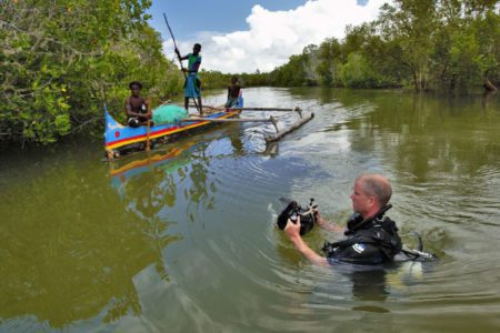
Lights, Camera, Mangroves, Mosquitoes!

Tahiry Honko is a community mangrove carbon project being run by our Blue Forests team with the local communities in the Bay of Assassins, Southwest Madagascar.

/ Jun 26, 2015

Putting Madagascar on the (Google) Map

by Leah Glass, Blue Carbon Project Manager, Madagascar I’m writing this blog whilst drifting down the Sambirano River in northwest Madagascar on a traditional pirogue. On a ‘normal’ work day I’d be on my way to visit one of mangrove...

/ Oct 22, 2014